Louisiana has several distinct geographic areas within the state that are different from one another in a variety of ways that affect plant growth and determine what native plants are found there and will grow there successfully. These distinct areas are called Ecoregions or Plant Regions. For the most success in using and planting native plants, it helps to understand what Plant Region you are in.
This 2006 Ecoregion Map of Louisiana is a very detailed and great resource for understanding the geology of Louisiana. There is also a series of maps displaying USDA NRCS soil data at the California Soil Research Lab. This site offers free apps for your phone, including SoilWeb, that can tell you from any site or spot on the map exactly what sort of soils you are working with.
A Plant Region is a broad generalization of the primary habitat type in an area. Each plant region can then be further divided into many types of Plant Communities, sometimes referred to as natural communities . These communities are again fine-tuned by geographically distinct environmental conditions and natural histories, which dictate the types of plants and animals found in each area. Provided here is a general overview of Louisiana divided into seven plant regions. For a more detailed description of plant communities in Louisiana consult the Natural Communities of Louisiana (Louisiana Natural Heritage Program 2009; www.wlf.la.gov/wildlife/ natural-communities) publication.
Coastal Marshes, Barrier Islands, and Maritime Forests
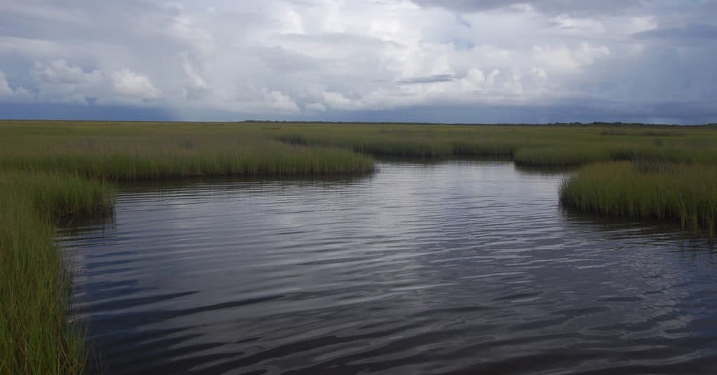
Prominent Physical Features: Includes freshwater, intermediate, brackish, and salt marshes, barrier islands, as well as fringing coastal forests.
Due to a number of human activities, the Coastal Marshes and Barrier Island plant region has suffered significant losses.
Prominent Vegetation: Grasses (cordgrasses and maidencane), sedges and rushes in the marshes. Beaches and barrier islands support sea oats, wiregrass, seaside heliotrope, beach morning-glory, among others. Forested coastal habitats support live oak, sugarberry, red bay, toothache tree and many other species.
Longleaf Pine Savannas and Woodlands
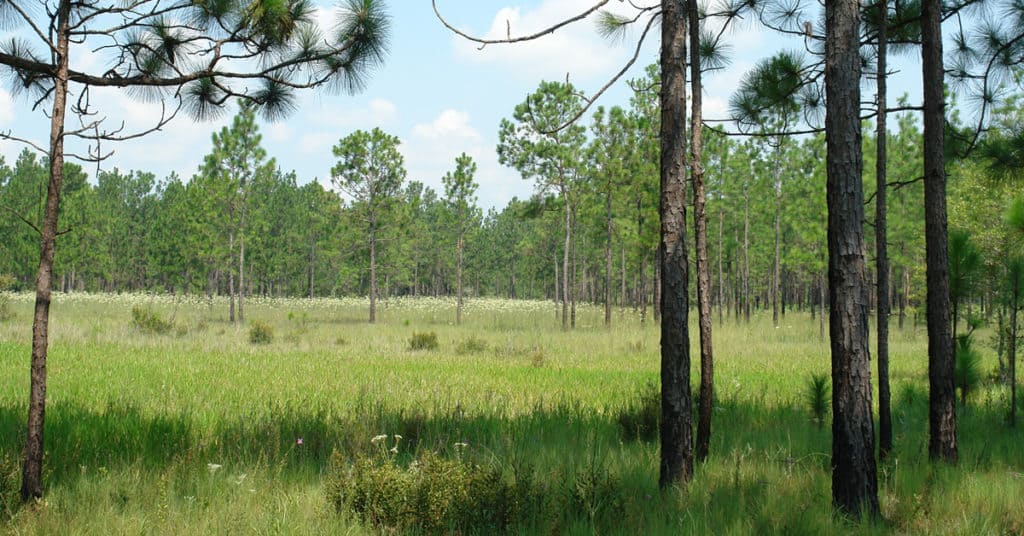
Prominent Physical Features: Occurs on infertile soils of both poorly-drained flatwoods and dry hills. The combination of infertile soils and frequent lightning-strike fires, occurring every one to three years, historically maintained open stands of longleaf pine with diverse prairie-like understories.
Prominent Vegetation: Longleaf pine with a rich herbaceous understory supporting little bluestem, slender bluestem, western bracken fern and many wildflowers.
Shortleaf Pine-Oak-Hickory Woodlands
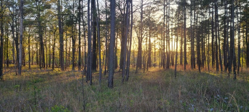
Prominent Physical Features: Occurs on dry hills and consists of mixed species stands with dry-sited hardwoods mixed with shortleaf pine. Canopy cover varies from open woodland with a grassy understory to more densely wooded stands. The community is maintained with beneficial forest fires every five to 15 years. Read more here.
Prominent Vegetation: Shortleaf pine, post oak, southern red oak, blackjack oak, hickories and black tupelo.
Hardwood-Pine Flatwoods
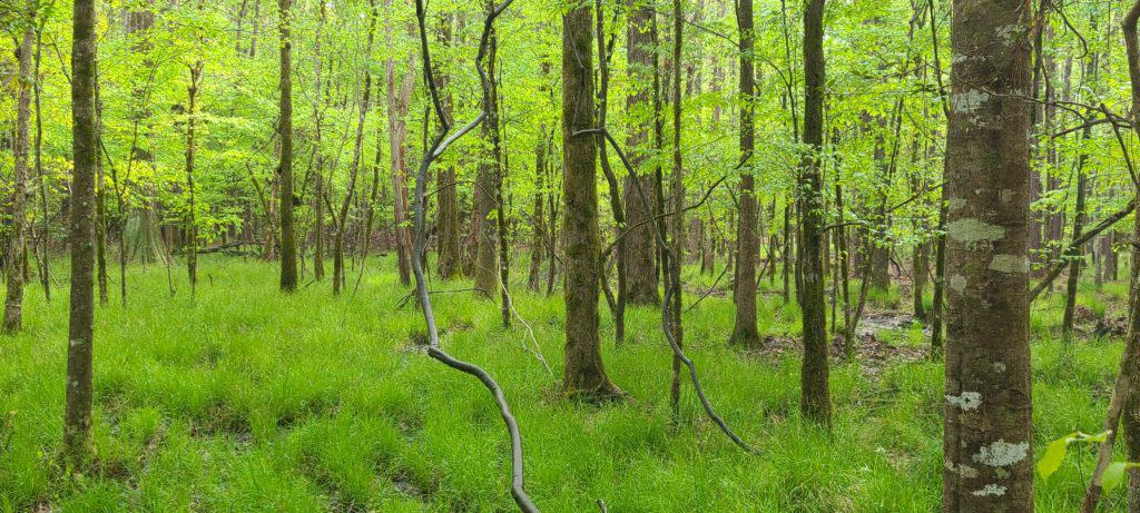
Prominent Physical Features: Occupies older flat to gently undulating surfaces, slightly up gradient from bottomland hardwoods and is not directly influenced by flooding of nearby rivers and streams. Soils are typically poorly drained silt loams to clays. Several inches of standing water in the winter can cause soils to be saturated into early spring.
Prominent Vegetation: Oaks, elms, maples, loblolly pine, spruce pine (southeastern LA only), sweetgum and sugarberry.
Bluff Forests (Tunica Hills)
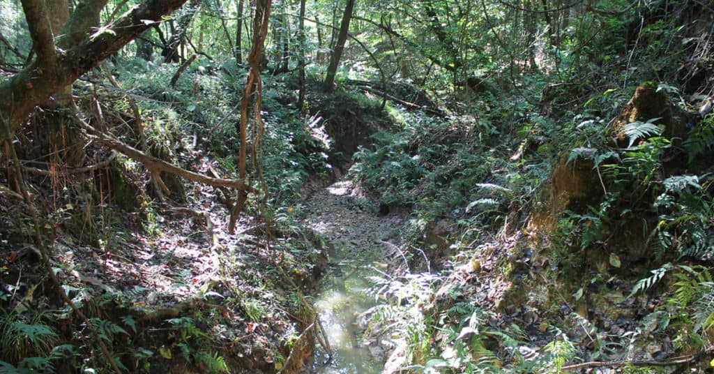
Prominent Physical Features: Found only in the northwestern Florida Parishes, primarily in Tunica Hills. Occurs on windblown silt deposits that eroded over thousands of years to form a highly-dissected landscape of narrow ridges, steep slopes, and deep ravines, which creates a relatively cool, moist climate on the slopes and in the ravines.
Prominent Vegetation: Shumard oak, cherrybark oak, tulip poplar, southern magnolia, American beech, blue beech and hickories.
Bottomland Hardwood Forests and Swamps
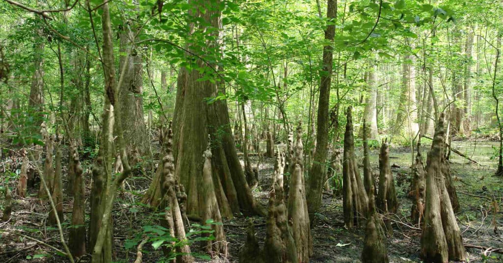
Prominent Physical Features: Forested wetlands that occupy broad floodplains and depressions bordering large river systems. The soil, hydrology and plant community varies based on river influence and landscape position. Floodplain soils are fertile and desired for agriculture, so most of the original forests have been converted to agriculture. Flood control efforts have also degraded the forests of this plant region.
Prominent Vegetation: Oaks, cottonwood, sycamores, elms, maples and ashes in bottomland hardwood forests. Bald cypress, water tupelo and swamp tupelo occur in the swamps.
Coastal Prairies
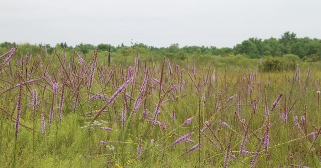
Prominent Physical Features: Extension of Midwestern tall-grass prairie, with a subtropical influence. Once covered approximately 2.5 million acres in Louisiana. Modern agriculture has reduced Louisiana’s coastal prairie to less than 1 percent of its former extent. Today, coastal prairie is limited to small remnants on grazing land, along railroads and a few small patches in urban areas. Fire, along with harsh soil conditions, restricts woody species to the forests along streams dissecting the plant region.
Prominent Vegetation: A diverse mix of lush grasses (little bluestem, big bluestem, eastern gamma grass, switchgrass, and Indian grass), sedges, rushes, and many wildflowers, such as blazing star, compass plant, milkweeds, rattlesnake master, and many more.
*Reference: Early, Brian Sean. 2021. Louisiana Native Plant Resource Guide: For Gardeners and Landscapers, Version 0.01. Louisiana Department of Wildlife and Fisheries, Wildlife Diversity Program.
